
mcda.Studio
Spatial multi-criteria decision analysis in the browser
A complete GIS-MCDA workflow, from criteria selection to sensitivity analysis, with documented data, weights and assumptions.
Applications
One workflow, many applications
Features
From data layers to reports


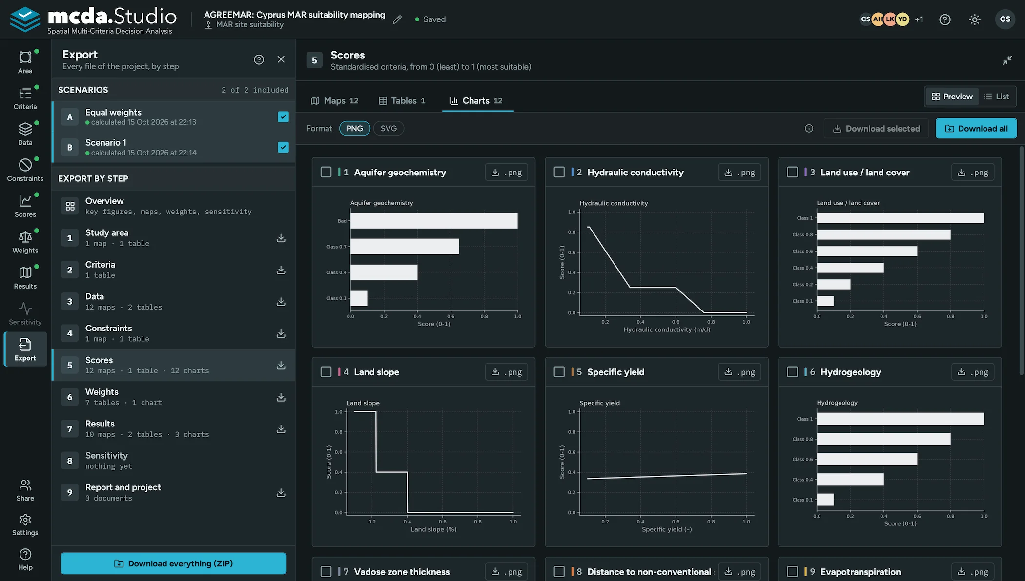
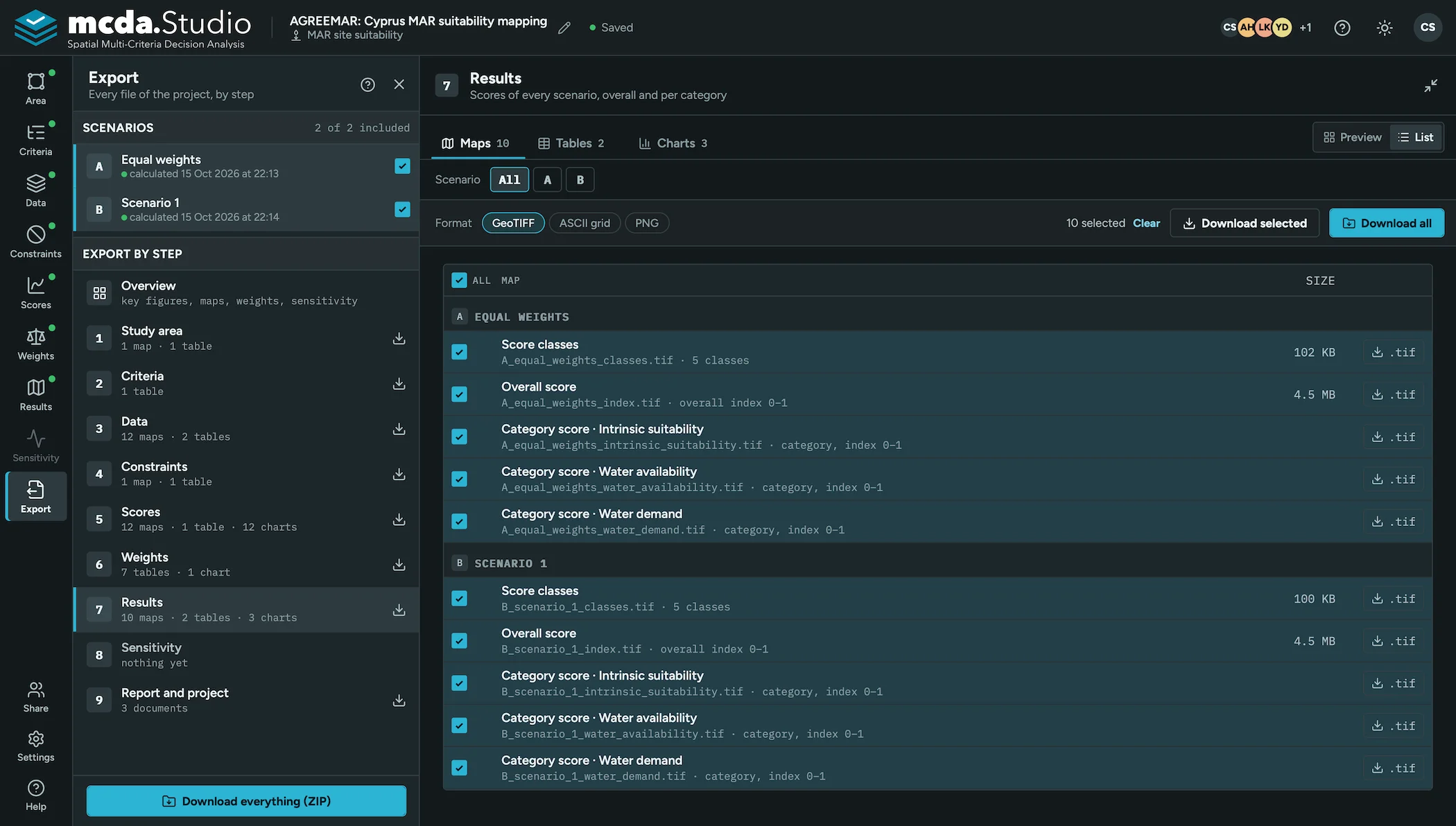

How it works
One workflow for every application
Phase 1
Set up
Study area and reference grid, criteria organised in categories, and the input data
- 1Study area
- 2Criteria
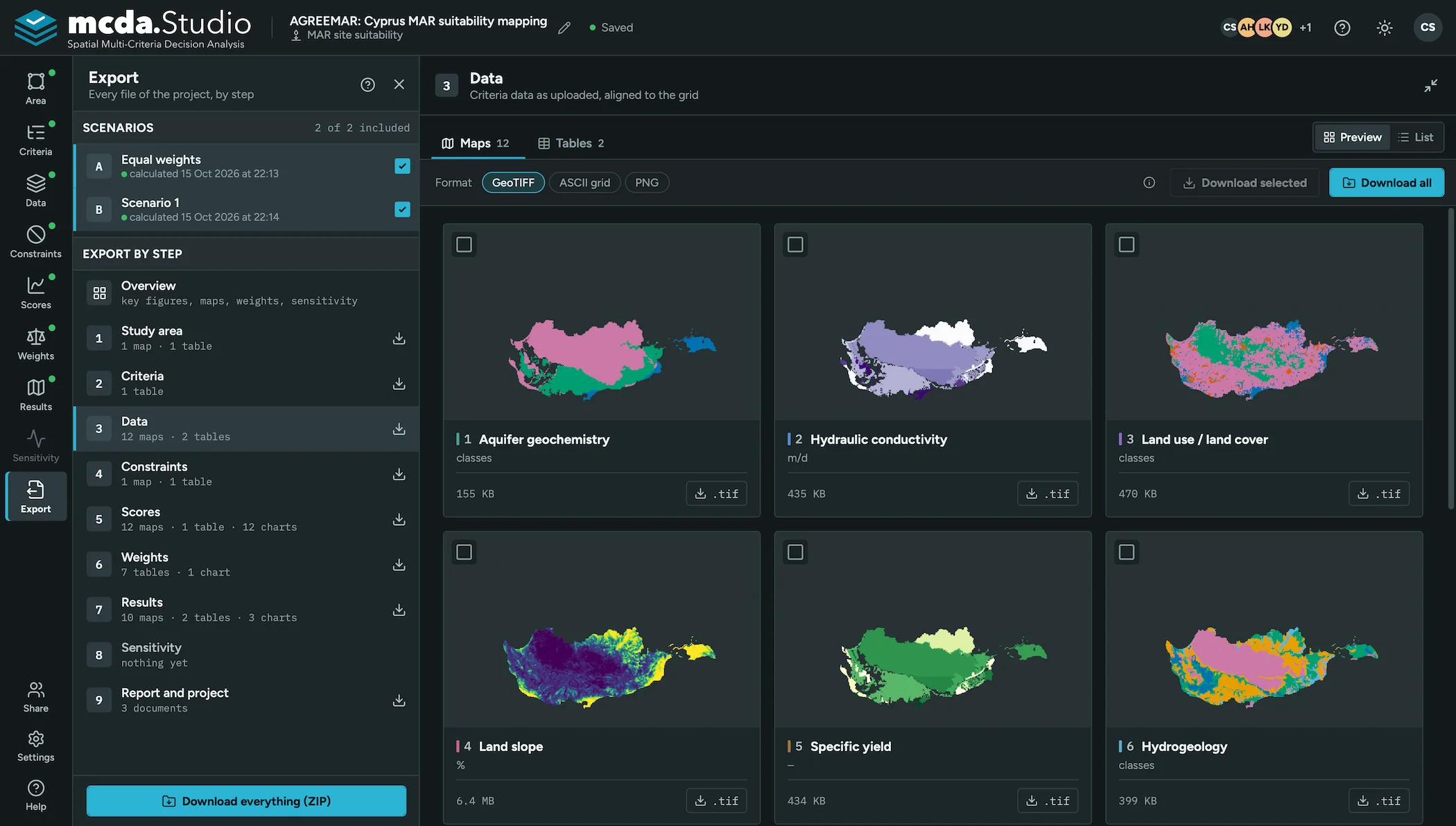
- 3Data
Phase 2
Evaluate
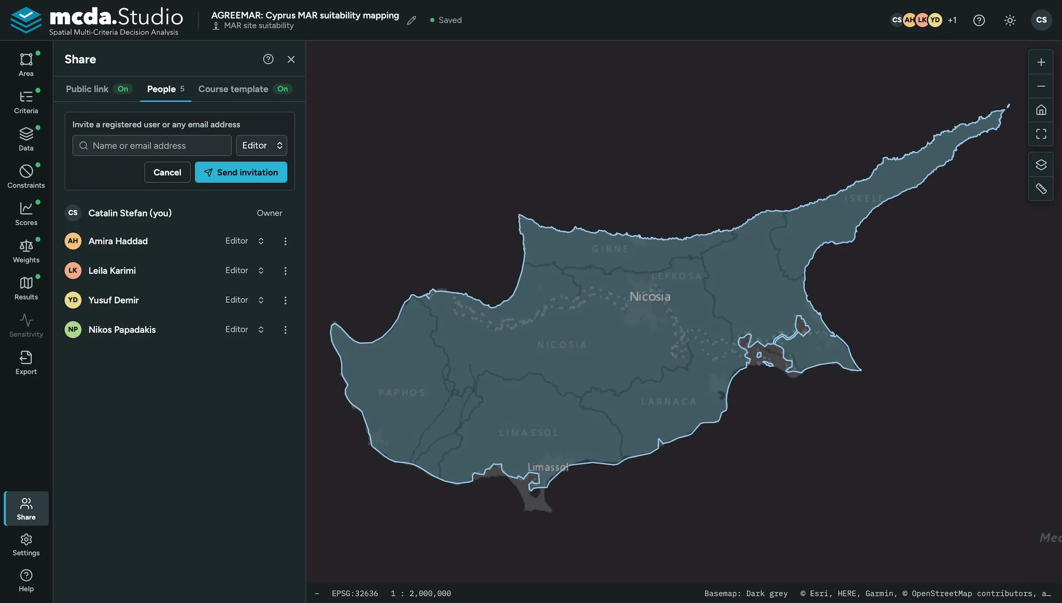
Exclusion areas, standardisation of each criterion, and weights from analyst methods or an anonymous stakeholder survey
- 4Constraints
- 5Standardisation
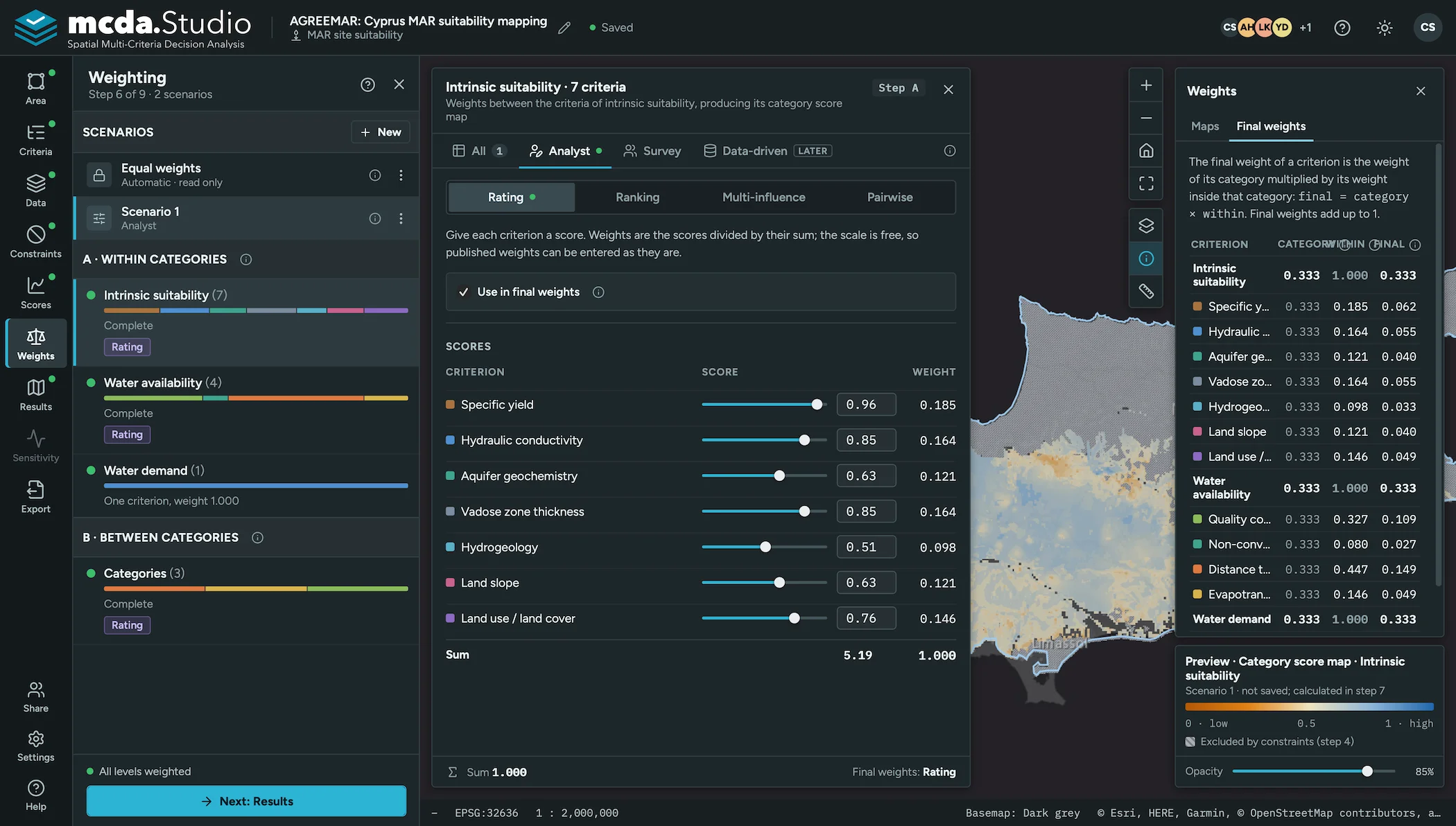
- 6Weighting
Phase 3
Analyse
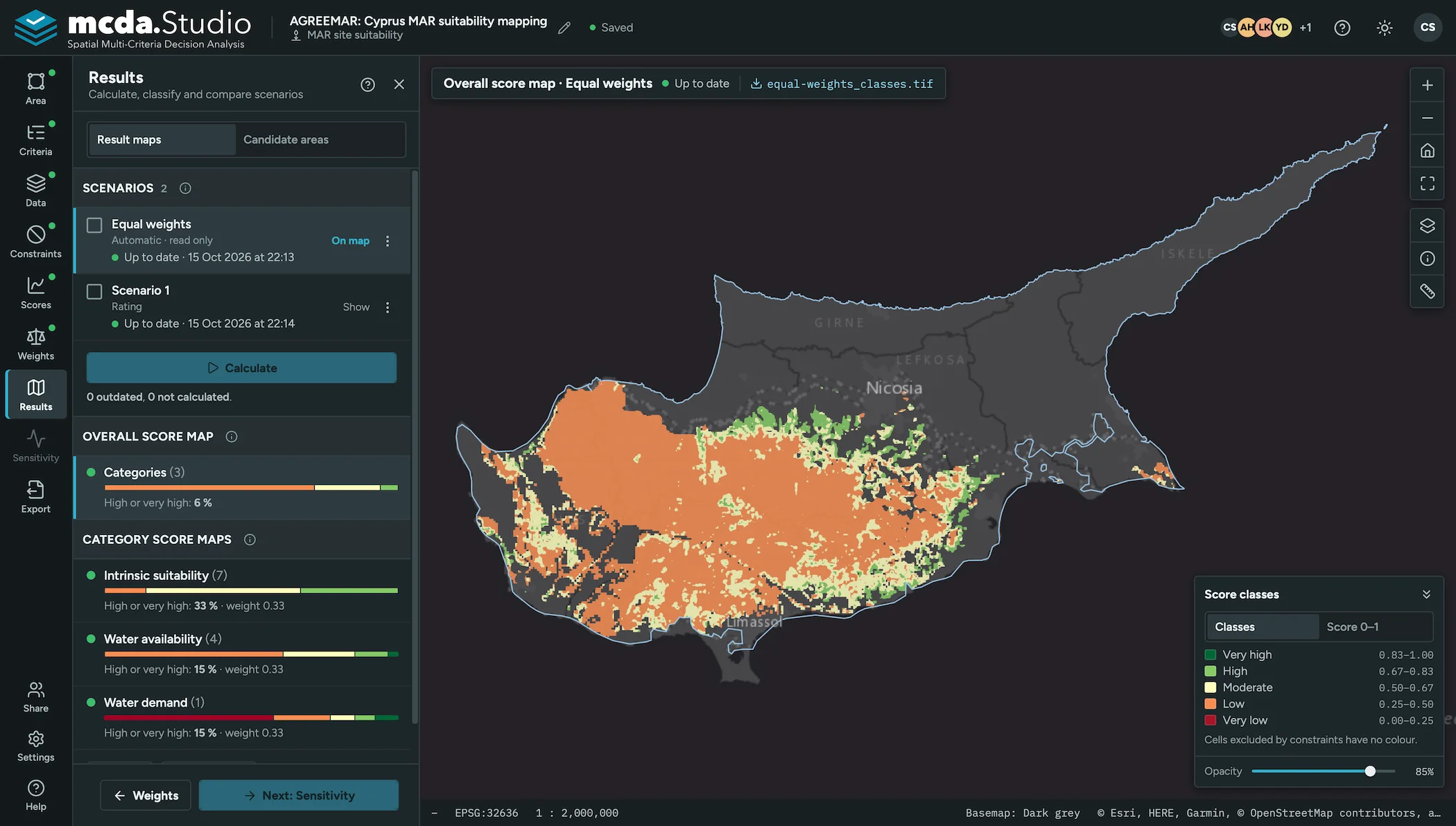
Classified maps for each scenario, sensitivity analysis, and a documented report
- 7Results
- 8Sensitivity
- 9Export
Case stories
Published studies, retold with the tool
-
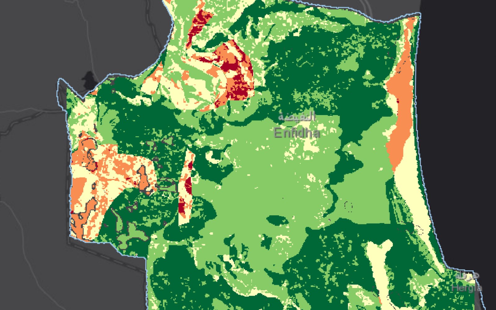 Case storiesMAR site suitability
Enfidha, Tunisia: where MAR is suitable and where it is feasible
A GIS-MCDA of the Enfidha plain combined intrinsic suitability, recharge water availability and water demand. 82% of the plain can store recharge water, but…
-
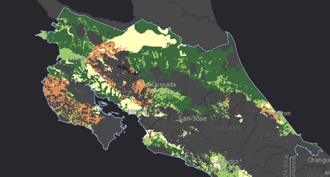 Case storiesMAR site suitability
Costa Rica: where spreading methods can recharge aquifers
A national GIS-MCDA with four criteria and MIF weights found 61% of Costa Rica suitable for MAR spreading methods, with the best sites in…
-
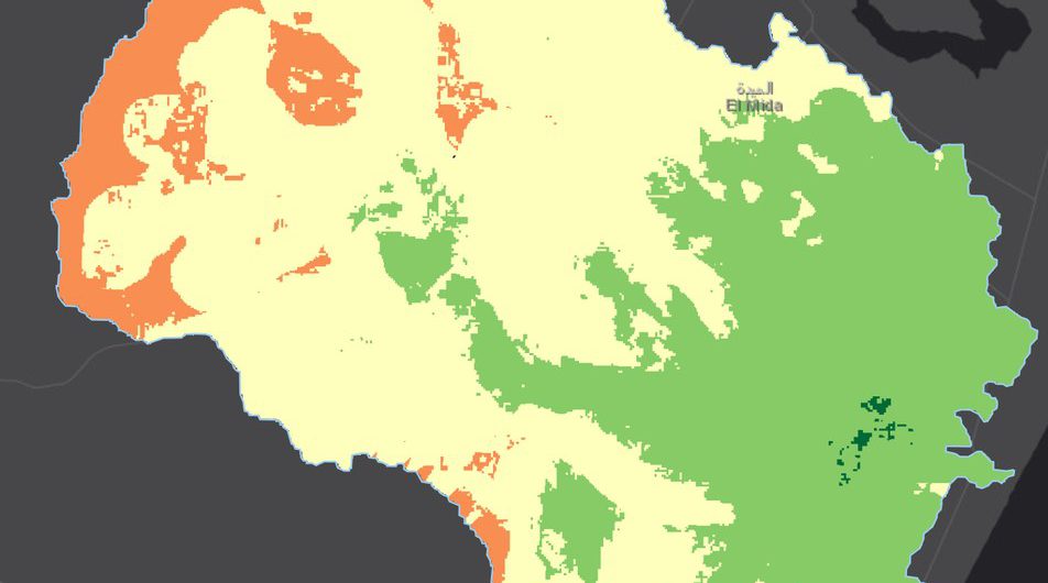 Case storiesMAR site suitability
Chiba, Tunisia: stakeholders weight MAR feasibility
In a coastal watershed on Cap Bon, stakeholders weighted 15 criteria by AHP for dry and wet seasons. Water availability carried half the weight,…
About
Research software from TU Dresden
mcda.Studio is developed by the INOWAS research group at the Institute of Groundwater Management, TU Dresden, together with research partners. It builds on earlier GIS-MCDA work of the group and applies one methodology to several fields of spatial assessment. Read more →


- Projects created
- 18
- Scenarios computed
- 38
- Criteria used
- 74
- km² analysed
- 32.2 M
- Registered users
- 22